- Active
- Andy

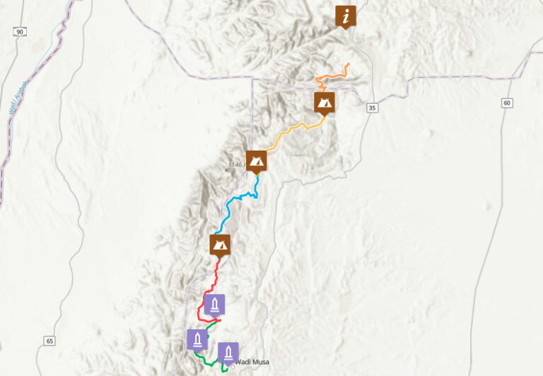
Dana to Petra Trek Map
How to Use the Dana to Petra Trek Map:
Click on the routes and points of interest (POIs) for more details. You can click on the photos in the POIs to enlarge them.
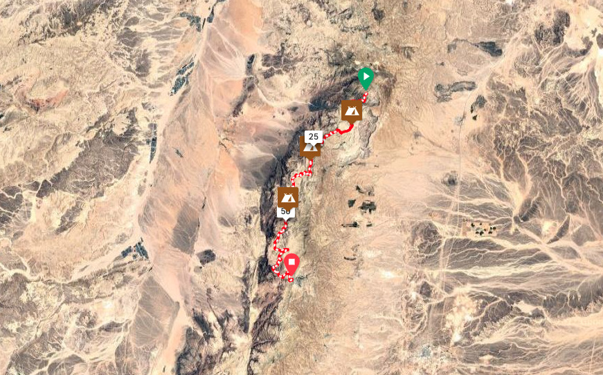
Satellite Image
This trek traverses along the Sharah Mountains above the wide Wadi Araba Desert. Along the hike, the route is mostly arid, but the trail passes through many microclimates, and the scenery changes significantly each day. For an overview, see the Satellite image below.
Elevation Profile
This 5-day trek is split into an average of about 15 Km per day. Day 1 has a lot of downhill while Day 2 has more incline. After that the hike levels off a bit, with less incline and decline per day. That means that if you have trouble hiking the first or second day, you can try to stick through it and look forward to easier hiking over the next couple of days.


